
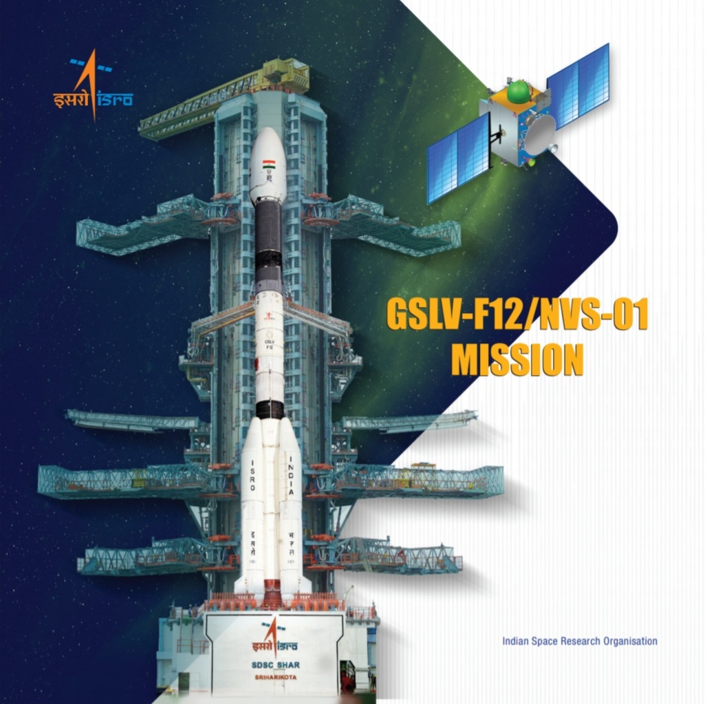
ABOUT NVS-01
- This satellite is the first of the second-generation satellites of ISRO’s NVS (Navigational Satellite) series of payloads.
- It weighs 2,232 kg, making it the heaviest in the constellation.
- The NVS-01 carried navigation payloads L1, L5 and S bands.
- Its purpose is to provide continuity for the NavIC (Navigation in Indian Constellation) services, which is an Indian Regional Navigation Satellite System (similar to GPS) that offers accurate and real-time navigation within India and up to a 1,500 km region around the country.
- In the First generation, there are seven satellites in the Indian Regional Navigation Satellite System (IRNSS) constellation, operationally named NavIC, weighing much less — around 1,425 kg — at liftoff.
- The NVS-01 satellite was successfully launched by the Indian Space Research Organisation (ISRO) using the GSLV-F12, and after a 19-minute flight, it was accurately placed into a Geosynchronous Transfer Orbit.
- GSLV-F12 is the 15th flight of India’s GSLV (Geosynchronous Satellite Launch Vehicle) and the 9th flight with indigenous cyro stage. This is the 6th operational flight of GSLV with indigenous cryogenic stage
ATOMIC CLOCK:
- The satellite will have a Rubidium atomic clock onboard, a significant technology developed by India.
- Some of the existing satellites in the navigation constellation lost their ability to provide accurate location data due to failed atomic clocks.
- Satellite-based positioning systems rely on precise time measurements from atomic clocks to determine object locations. When the clocks fail, the satellites cannot provide accurate location information anymore.
L1 SIGNALS FOR BETTER USE IN WEARABLE DEVICES:
- It will send signals in a third frequency, L1, besides the L5 and S frequency signals that the existing satellites provide, increasing interoperability with other satellite-based navigation systems.
LONGER MISSION LIFE:
- It will have a longer mission life of more than 12 years. The existing satellites have a mission life of 10 years.
NAVIC
- Navigation with Indian Constellation (NavIC) is an independent regional navigation satellite system designed to provide position information in the Indian region and 1500 km around the Indian mainland.
- IRNSS would provide two types of services, namely Standard Positioning Services available to all users and Restricted Services provided to authorised users.
IT'S APPLICATIONS INCLUDE:
- Terrestrial, Aerial and Marine Navigation.
- Disaster Management.
- Vehicle tracking and fleet management.
- Integration with mobile phones.
- Precise Timing.
- Mapping and Geodetic data capture.
- Terrestrial navigation aid for hikers and travellers.
- Visual and voice navigation for drivers.


